 Spot Hawk
Spot Hawk
Spot Hawk
Click anywhere on the water for a live tide estimate. Plot your run, save your spots, relive your tracks, and see what's biting right where you are — all in your browser, nothing to install.
Tap anywhere on the chart and Spot Hawk finds the nearest NOAA station, estimates the height right now, tells you whether it's rising or falling, and lays out the full day's highs and lows. No other free tool does this — and it works the moment the page loads.
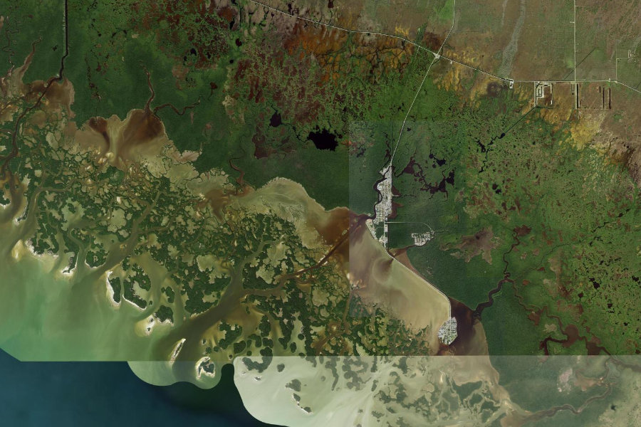
High-res imagery of every inlet, flat, and pass on the US coast.
A live estimate and full hi/lo schedule for any point you tap.
Lay out a run and measure it in nautical miles, with bearings.
See what's running where you are this month, with regs a tap away.
Save spots with gamefish icons and notes. They never leave your device.
Import your GPS tracks and see exactly where you ran.
GPX import/export to Navionics, Garmin, Lowrance, and the phone app.
Sign in to keep your spots safe and synced across your devices. Rolling out now.
Mark a spot on the water with the Spot Hawk iPhone app, then see it on the big screen at home. Cloud sync and backup are on the way — opt-in, so the privacy-first experience stays the default.
Start free. Go Pro when you're ready — one subscription covers the web app and the Spot Hawk iPhone app.